
South Euclid ZIP Code Coverage
Only one South Euclid ZIP has been confirmed from the inspected USPS and local sources: 44121. It is served by the South Euclid Post Office, and both City Hall and the South Euclid-Lyndhurst Library use that code. The nearby-post-office results mention Cleveland Heights 44118 as an alternative, but that does not establish 44118, 44124, or any other code as citywide South Euclid coverage.
| ZIP | Areas Covered | Post Office | Notes |
|---|---|---|---|
| 44121 | Confirmed South Euclid addresses in the inspected local sources | South Euclid Post Office, 1568 S. Green Rd., Cleveland, OH 44121-4048 | The only confirmed city-serving ZIP in this research. Verify each address with USPS. |
| Secondary or boundary ZIP | Not confirmed as citywide coverage | USPS facility results show nearby alternatives, including Cleveland Heights 44118 | An address-specific USPS result is required before treating a secondary code as local coverage. |
The USPS South Euclid Post Office listing identifies the facility as SOUTH EUCLID and supplies the local postal starting point.
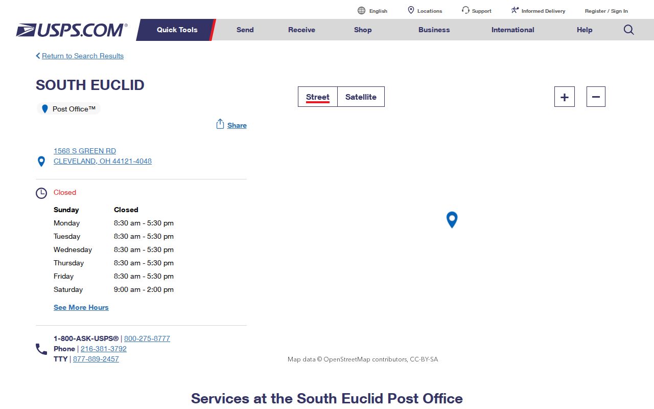
That facility record supports 44121 as a confirmed code, not a claim that every nearby postal label matches the municipal boundary. The ZIP code directory therefore lists an honest confirmed starting point instead of guessing at a citywide secondary code.
44121, a Confirmed South Euclid ZIP Code
USPS verification works best at the address level. The postal lookup offers by-address, by-city/state, and by-ZIP modes, so an exact address can be checked even where a city name alone is broad or a web viewer does not display the full JavaScript result. Retain the returned address form with the record notes when a postal detail matters.
The USPS 44121 lookup is the captured postal query for the confirmed code.
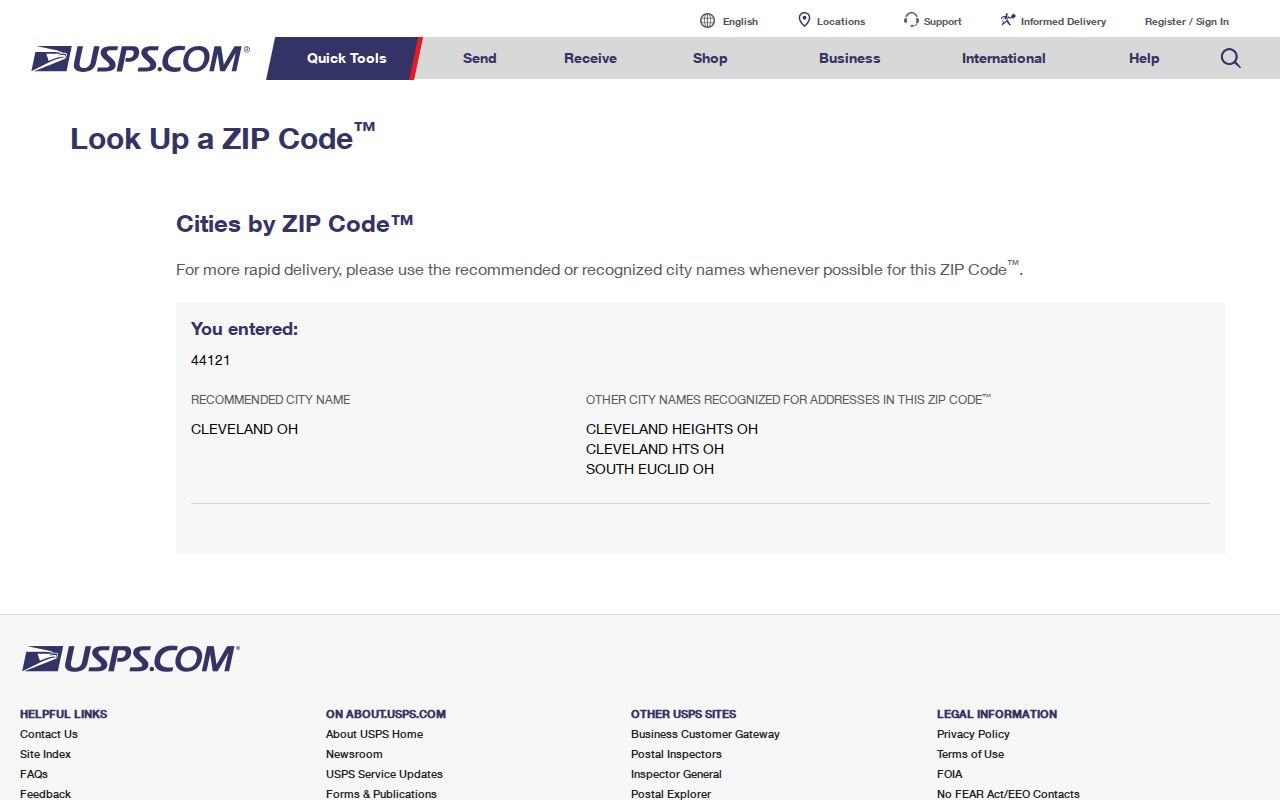
A postal result says how USPS routes that address. It does not prove the parcel lies within South Euclid, which is a separate government and property question.
City Hall and the South Euclid-Lyndhurst Library use 44121 in the inspected local material, which is helpful corroboration for that postal starting point. It still does not create a shortcut for a nearby address. A city name in a return label, a nearby facility result, and a municipal jurisdiction can all differ, so the full address remains the item to verify.
Boundary check. Use USPS for the postal code, then use city and parcel records for municipal jurisdiction; a ZIP boundary is not a city limit, ward, precinct, parcel, or legal description.
South Euclid ZIP Codes and Civic Maps
Postal routing is only one form of geography. South Euclid has four wards, with the ward-boundary map held by the Clerk under city code. Precinct and polling information are election layers. A parcel is the mapped property unit used by county assessment records. A legal description identifies land through a lot, block, subdivision, section, condominium, or comparable record reference. Each can point to the same address without being interchangeable.
The City development resources group planning tools, including development maps, precinct and polling maps, zoning, and the resident information lookup.
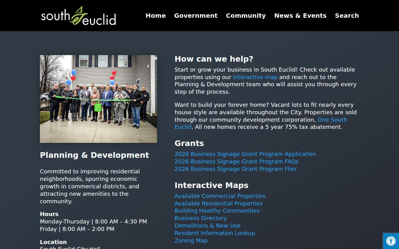
Those city tools add land-use and civic context to an address. The resident information lookup is described as providing parcel details, permits, collection information, school attendance, zoning, and representatives, not occupants.
South Euclid ZIP Code Record Searches
A ZIP-wide resident search is not documented in the central county property or recording tools. Cuyahoga County MyPlace accepts City, owner, parcel, and address paths. Choose City as South Euclid and search the known address or parcel. The Recorder's Advanced Search captures property address, PPN, legal description, party names, document type, and dates, but no documented ZIP filter was found.
| Local search | Captured fields relevant to ZIP work | Use and limit |
|---|---|---|
| Cuyahoga County MyPlace | City, owner, parcel, address | Find a parcel and its owner, situs, tax-mailing, transfer, value, and mapping paths; no documented ZIP mode. |
| Recorder Advanced Search | Property address, PPN, legal description, party, document type, dates | Trace recorded documents; no documented ZIP filter. |
| Clerk foreclosure search | ZIP Code, city, street, parcel, date | Its form can filter a property or case search by ZIP, but it is not a resident search or occupancy list. |
Search by parcel, address, or recorded party after USPS confirms the address form. For the fuller address chain, use the South Euclid street directory.
The difference in fields matters. A clerk foreclosure form can use ZIP Code as one property or case criterion, while MyPlace is the county's routine parcel locator and the Recorder is the recorded-document route. A result from the foreclosure form is a case or sale reference. It cannot be turned into a list of people who receive mail or live throughout that postal area.
South Euclid ZIP Code Address Fields
MyPlace is a county compilation, not the legal official record. It distinguishes an address where the parcel sits from an address where a tax bill is mailed. Save both along with the permanent parcel number, then compare them with the Recorder document and legal description when an address is uncertain. The PPN format is 000-00-000, representing book, page, and circle in the county system.
The Cuyahoga County city and ward map source shows the related civic-geography path.
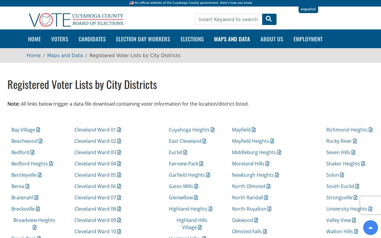
The map source can help place an address in the correct civic geography after the postal code has been checked.
The Cuyahoga County MyPlace portal is the primary local path for address, owner-name, and parcel-number searches.
Start with the city and address in MyPlace, then retain the PPN before moving to a document search. A record may use a physical situs address, while a tax bill uses a delivery address and the Recorder may rely on the legal description or parcel reference. Comparing these fields reduces the risk of applying a postal return to the wrong property.
- ZIP
- A postal routing code. In this research, 44121 is the only code confirmed as serving South Euclid.
- ZIP+4
- An added four-digit postal delivery refinement. It may identify a smaller delivery segment but does not identify a municipal boundary.
- PO-box ZIP
- A code used for post-office-box delivery. The inspected sources do not establish a South Euclid PO-box ZIP.
- Unique ZIP
- A postal category sometimes assigned to one high-volume receiver. No local unique ZIP was documented here.
- Carrier route
- A mail-delivery sequence used by USPS. It can cross local record categories and is not proof of a local parcel or resident.
South Euclid ZIP Codes, Wards, and Precincts
Ward and precinct questions require their own current sources. The city identifies four wards, and the Board of Elections provides city-district material for South Euclid. For a current voting assignment, use a person-specific election lookup rather than inferring a precinct from a ZIP. Polling places can change, so a historic map or list is not a present assignment.
The South Euclid districts page identifies the Cedar and Green gateway, the Cedar and Warrensville retail center, and the Mayfield corridor, all useful orientation points rather than postal boundaries.
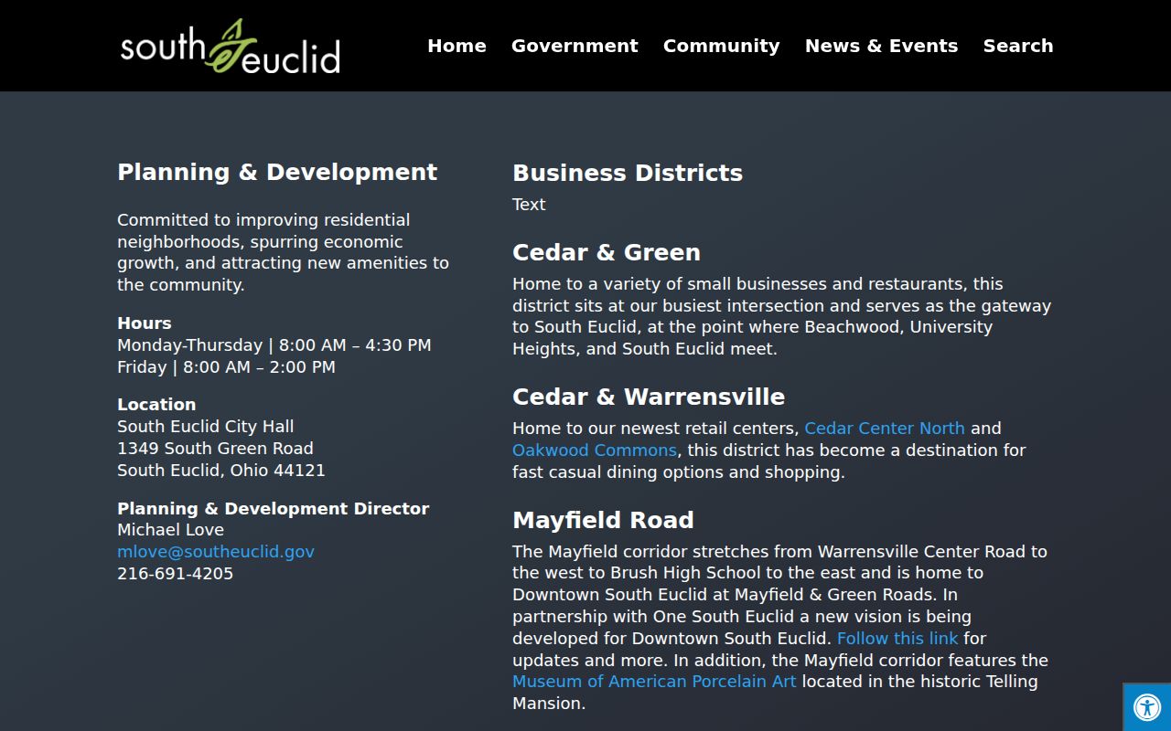
These corridor names can help describe a location, but USPS must still confirm the mailing code and the county record must establish the parcel.
The Cuyahoga Board of Elections voter-information lookup uses a last name and date of birth for a county match.
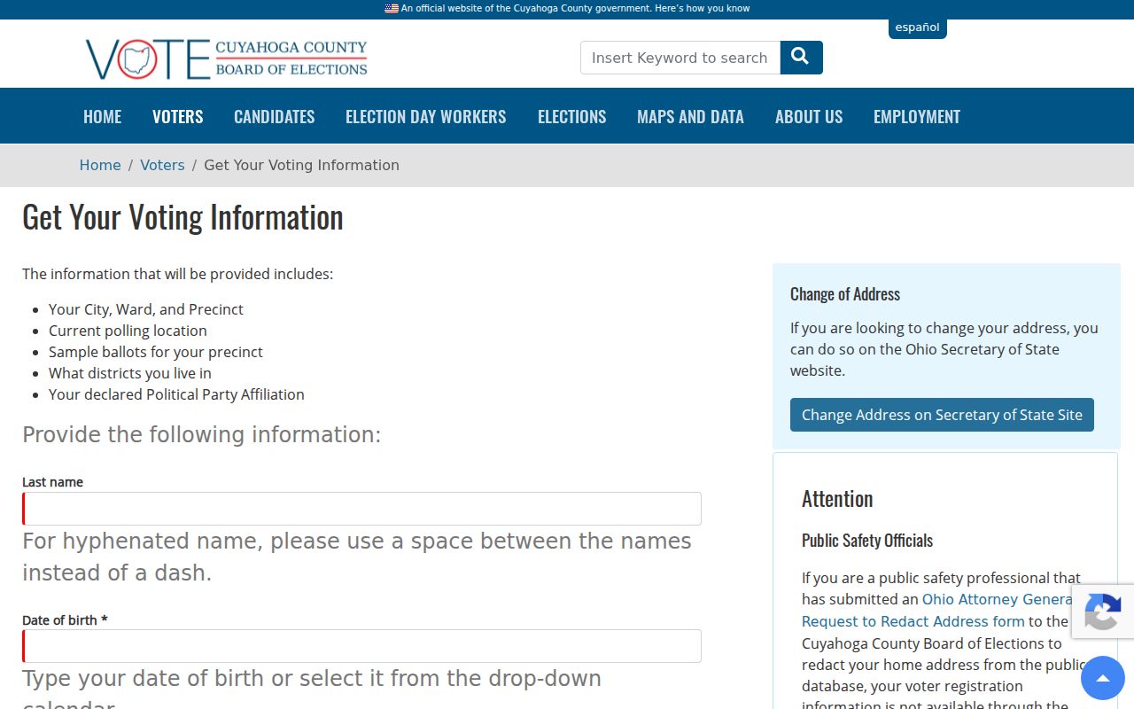
The resulting city, ward, precinct, polling-place, district, and ballot information belongs to that person lookup. It is not a ZIP-wide list of residents.
South Euclid ZIP Code Boundary Limits
South Euclid's city boundary, a postal service area, and a tax parcel are maintained for different purposes. A mailing label may use a postal city label that differs from a municipal designation. A city address may also fall near a postal boundary. That is why an address must be checked separately in USPS, MyPlace, and city or county mapping before a record is attributed to the city.
Recorder documents carry their own route to a property through address, PPN, parties, and legal description. Treat those fields as the record trail. Do not use a ZIP as a substitute filter when the portal did not document one.
Where a parcel lies close to a city or postal edge, record the exact USPS answer alongside the MyPlace city selection and the map position. If those records seem to point in different directions, resolve the question with the Fiscal Officer, municipal mapping, or the relevant custodian. The difference is a research issue, not a reason to expand a ZIP claim beyond the available official result.
South Euclid Corridor Postal Context
Mayfield and Green mark Downtown South Euclid, while the City's current district information also identifies the Mayfield corridor from Warrensville Center Road to Brush High School. Cedar and Warrensville is another local anchor. These names help orient someone comparing an address with a map, yet none declares a ZIP line or proves a mailing code.
For postal work, use the exact address. For government context, use the parcel and city tools. Keeping those roles separate is especially important at the edges of a postal area, and it is the central limit of a South Euclid ZIP code directory.
Only 44121 has confirmed South Euclid-serving status in the inspected sources. That limitation is useful. It avoids turning nearby facility names or a generalized city label into an unsupported postal claim. An address-specific USPS result can refine the answer, while MyPlace and city mapping should still be used to confirm the governmental and parcel context.